By Nathalie Hanson
(CN) — As much of the United States reels from a paralyzing arctic blast, California and the West Coast is looking to the Pacific where an atmospheric river is shaping up to bring much needed rain to close out the year.
A chance of showers begins across much of California, on Monday, with rain likely to last through Wednesday and perhaps beyond, according to the National Weather Service.
NWS is forecasting a chance of rain for most of the week beginning Tuesday in the Santa Clarita Valley. (See forecast below).
The San Francisco Bay Area can expect moderate to heavy rain primarily from Monday afternoon until Wednesday morning, according to the service’s local Bay meteorologist Brooke Bingaman, with the brunt of the storm hitting Tuesday.
“We’re looking at much of the area getting at least an inch, with the potential for peak amounts of 4 to 6 inches up in some of our coastal mountains,” Bingaman said. That forecast includes the Sonoma County coastal mountains and the Santa Cruz mountains.
National Weather Service Reno station meteorologist Zach Tolby said the snowfall and rain could vary considerably in different areas.
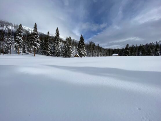
The South Lake Tahoe area could see several inches of heavy rain and strong winds Monday night and Tuesday before turning to snow Wednesday. Tolby said snow will start above 6,200 feet before dropping to around 5,000 feet Wednesday.
“It’ll probably be good for the overall snowpack at the higher elevations,” Tolby said. “Below 7,000 feet or so, the rain could reduce the snowpack. But it does look like we have the potential for some more storms into the new year — and those look like they will be colder.”
California in particular will benefit from rounds of more rain and snow in the mountains to finish the calendar year, the scientists said. The state’s water year so far looks less promising than the previous one despite a fairly wet December.
The U.S. Drought Monitor report released Thursday showed California entering the holiday weekend with much of the Central Valley again in exceptional drought — the highest level — with other parts of the state in extreme drought. Most coastal areas are in severe drought.
The storm will also make its way into Oregon. Portland meteorologist Rebecca Muessle said the region can expect several rounds of heavier rain once it arrives.
“We are going to see that low pressure system come up from the central Pacific, and it’s going to push northward,” Muessle said. “This system is likely to have a good amount of warm air on the leading edge and then bring down some cold air from the gulf of Alaska.”
As for rain amounts, she said, “It’s way too early to tell,” although the state’s coastal areas can expect about an inch or more.

Click on photo to enlarge graphic.
Like this:
Like Loading...
Related


 Tweet This
 Facebook
 Digg This
 Bookmark
 Stumble
 RSS
RSS


REAL NAMES ONLY: All posters must use their real individual or business name. This applies equally to Twitter account holders who use a nickname.
0 Comments
You can be the first one to leave a comment.