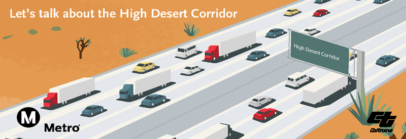
2014 is slated to be a very busy year for the High Desert Corridor project. Metro and Caltrans are in the final stages of completing the Alternatives Analysis (AA) for the Rail component. The Rail AA will identify the preferred HDC rail alternative to move forward into the Draft Environmental Impact Report/ Environmental Impact Statement (EIS/EIR) for further evaluation.
In addition to the completion of the Rail AA, Metro and Caltrans plan on hosting a project webinar during the first quarter of 2014. The webinar will help explain the Rail AA, describe the location of the rail system as well as the technology considered in the environmental studies. During the second quarter of 2014, the partner agencies will host Community Workshops to look at project alignments/variations in detail. The community workshops will be held at various locations throughout the 63 mile corridor.
During the third quarter of 2014, Metro and Caltrans plan on releasing the Draft EIS/EIR for public review. During the official comment period, the partner agencies will host public hearings, to gather and record comments. The public hearings will be well publicized as well as the public comment period. Metro will continue to provide project updates as the Draft EIS/EIR study moves forward. A strong component of this environmental process includes public participation at key project milestones, specifically the refinement of project alternatives, review of the Draft EIS/EIR, selection of the preferred alternative (PA) and the completion of the Final EIS/EIR.
As always, the project’s previous community presentations, project fact sheet and video are available on Metro’s website at metro.net/hdc as well as a link to the Ustream channel where you can view recordings of previous community meetings: http://www.ustream.tv/channel/metro-high-desert-corridor.
We also encourage you to visit the HDC’s GeoSocial Interactive Map, which provides a dynamic interface with the project map allowing users to find useful project information. This Google-based map tool is designed to allow users to zoom into specific areas such as the different cities, towns, proposed freeway on/off ramps, as well as take a closer look at the HDC Study alternatives and variations that are currently under consideration. In addition, the interactive map allows users to geo-code comments onto the map and share them via social media sites. We invite you to learn more about the project by exploring the HDC Interactive Map and posting comments and/or photos of your local community at http://interactive.metro.net/projects/high-desert-corridor/. Additional information about the project is also available on the Caltrans website.
Look for more information about the HDC project in the coming months via our project website and our Facebook Fan Page. We encourage you to talk to your friends and associates about the HDC project, and ask them to “Like” us on Facebook at facebook.com/metrohdc and follow us on Twitter @metrohdc.
Like this:
Like Loading...
Related


 Tweet This
 Facebook
 Digg This
 Bookmark
 Stumble
 RSS
RSS


REAL NAMES ONLY: All posters must use their real individual or business name. This applies equally to Twitter account holders who use a nickname.
3 Comments
How about extdnding the north hollywood subway to the SCV….
Precisely, even if they just extend the RedLine up to where the 5, 210 and the 14 intersects. That would be a very big help for the people living in the Antelope Valley.
What about a bus that goes to Pasadena.