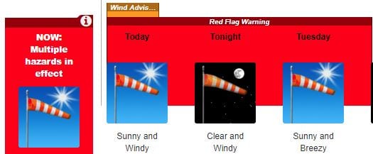
A red flag warning issued due to gusty high winds and low humidity will remain in effect through 8 p.m. Tuesday, according to the National Weather Service.
A wind advisory is also in effect until 3 p.m. Monday.
Wind will blow from the northeast at 20-35 mph with gusts to 50 mph. Isolated gusts to 60 mph are expected in the hills until early Tuesday afternoon.
Wind of that strength may down trees and power lines, causing property damage or power outages. Crosswinds and blowing dust can make driving difficult, especially for drivers of high-profile vehicles and vehicles towing trailers.
Daily maximum temperatures will range from 80 to 90 degrees, with 4 to 12 percent humidity and poor overnight recovery.
If fire ignition occurs, conditions are favorable for extreme fire behavior which would threaten life and property.
A red flag warning means that critical fire weather conditions are either occurring now or will shortly. A combination of strong winds, low relative humidity and warm temperatures can
contribute to extreme fire behavior. Use extreme caution near fire ignition sources.
For further updates, click here.
Like this:
Like Loading...
Related


 Tweet This
 Facebook
 Digg This
 Bookmark
 Stumble
 RSS
RSS


REAL NAMES ONLY: All posters must use their real individual or business name. This applies equally to Twitter account holders who use a nickname.
0 Comments
You can be the first one to leave a comment.